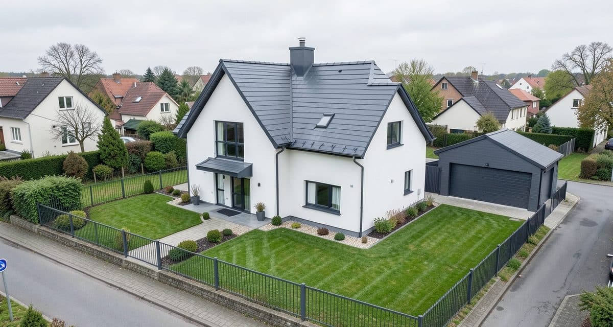
What the maximum building footprint means in Poland and who sets it
Legal status as of 4.11.2026
This article describes the Act on Spatial Planning and Development (the upzp, consolidated text Dz.U. 2026 poz. 538), the Building Law (Pb, consolidated text Dz.U. 2026 poz. 524) and the regulation on determining requirements for new development and land use where there is no local zoning plan (Dz.U. 2024 poz. 1116). The limit for your plot is set by the local plan resolution or by the zoning conditions decision. This is not legal advice, so confirm the figures with the municipal office.
The maximum building footprint is the upper limit on how much of a plot buildings may cover. In Polish it is the *maksymalny udział powierzchni zabudowy*. The building footprint share is the sum of the horizontal projections of the buildings, divided by the area of the building plot (in a local plan) or of the site (in a zoning conditions decision). The projection is measured along the outer outline of the external walls, leaving out any parts below ground level (art. 2 pkt 35 upzp).
A percentage in the local plan, the zoning decision or the general plan therefore tells you how much ground-level outline all buildings together may take up. The house, the garage and the garden building share one limit, because the definition adds up the projections of every building located on the plot (art. 2 pkt 35 upzp).
This indicator measures only the outline on the ground. The number of storeys is governed by a separate indicator, which we explain in the article on building intensity ratio in Poland.
How to calculate the building footprint of a house
You need the outline of every building on the plot, the area of the plot and the limit from the plan resolution or the decision. The usable floor area and the total floor area from a house design are not part of the formula, because the definition in art. 2 pkt 35 upzp rests only on the horizontal projection of buildings.
- Take the outer outline of the walls of every building standing on the plot, including existing ones: the house, the garage, the garden building. Use dimensions from the site development plan or from the designer, not from the usable floor area table.
- Subtract any parts below ground level, for example an underground garage that extends beyond the outline of the house. The definition does not count them.
- Add up the projections of all buildings.
- Divide the sum by the area of the building plot (local plan) or of the site (zoning decision) and multiply by 100.
- Compare the result with the limit. If the result is close to the limit, measure the outline together with the insulation and plaster, so that a check by the office does not bring a surprise.
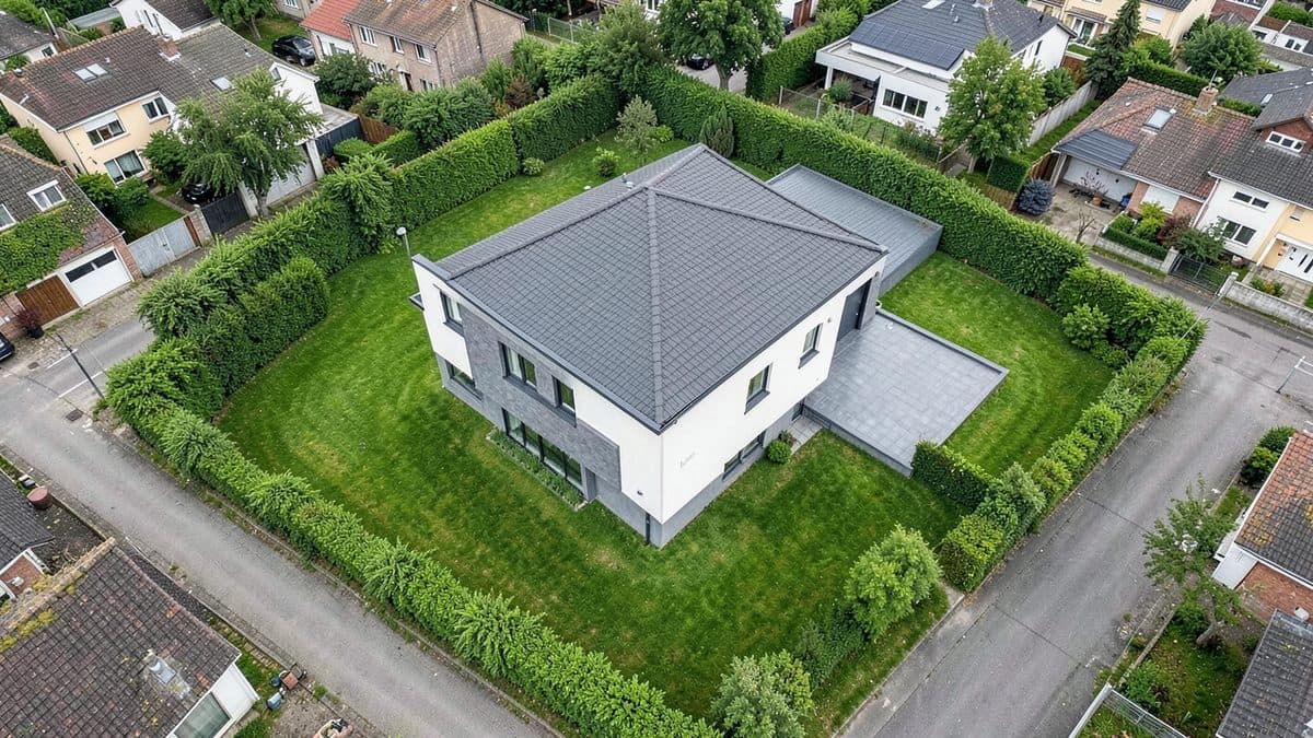
Worked example with assumed figures: the plot is 1000 m² and the limit is 30 %, so the outline of all buildings may take up at most 300 m². A house with a projection of 120 m² and a garage with a projection of 36 m² make 156 m² together, which is 15.6 % of the plot. That leaves 144 m² of projection under the limit.
If you plan an extension after buying a plot, add the new projection to the projections of all buildings that already stand there. The definition adds up buildings located on the plot, not only newly built ones (art. 2 pkt 35 upzp).
For the same total floor area across all floors, a single-storey house has a larger projection than a house with an upper floor. With a tight footprint limit it is worth comparing both options, keeping in mind the height and intensity limits from the resolution.
Does a terrace, garage, shed or carport count toward the footprint?
Only buildings count toward the footprint share (art. 2 pkt 35 upzp), so the question is whether a given element is a building. The Building Law describes a building as a structure permanently attached to the ground, separated from the surrounding space by building partitions, with foundations and a roof (art. 3 pkt 2 Pb). The table applies both definitions to typical plot elements.
| Element | Counts toward the projection? | Why |
|---|---|---|
| Single-family house | Yes | It has walls, foundations and a roof, so it is a building. |
| Garage closed by walls, detached or attached | Yes | A garage with walls, foundations and a roof meets the definition of a building, and the projections of all buildings are added up. |
| Garden building with walls and a roof | Yes | It meets the definition of a building. |
| Ground-level terrace without walls or a roof | No, by the definition | It has no building partitions or roof, so it is not a building. |
| Shelter without walls, for example a carport | No, by the definition | No building partitions. Confirm with the office if the shelter is enclosed on several sides. |
| Covered terrace next to the house, porch | It depends | If the external walls of the building enclose this part, it enters the projection. With posts and a roof but no walls, ask the designer or the office. |
| External steps, driveway, paving, footpath | No | These are not buildings. |
| Balcony projecting beyond the walls | Does not enlarge the projection | The projection is measured along the outer outline of the external walls. |
The table shows a reading of the definition in the act. Also check the plan resolution itself, because its provisions may contain their own rules on shelters, terraces and garden buildings. In borderline cases ask the municipal office or a designer for their position.
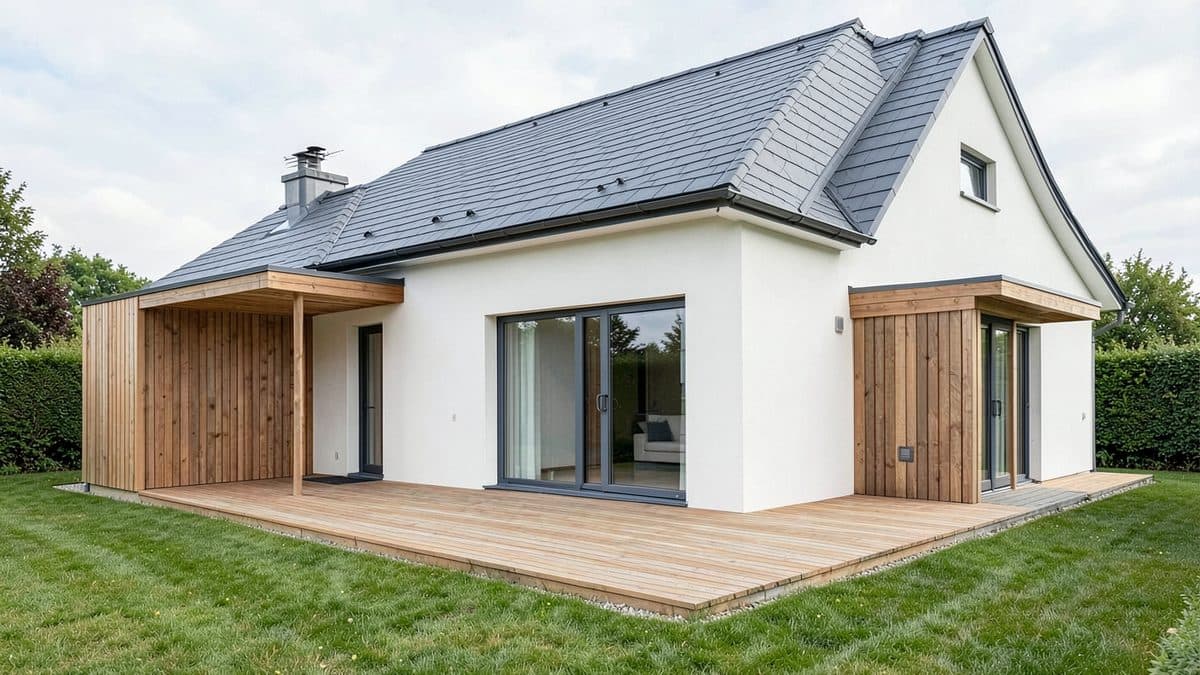
A terrace and paving do not vanish from the balance of the plot. The definition of the biologically active area covers land that provides natural vegetation and retention of rainwater and meltwater, and includes, among others, 50 % of the area of terraces and flat roofs, and other surfaces providing natural vegetation, with an area of not less than 10 m² (art. 2 pkt 28 upzp). A terrace that is not counted as a building can therefore still affect the green-area balance. Agree the way of calculating it with the designer and the resolution.
Where to find the limit for your plot: local plan, zoning decision, general plan
The source of the limit depends on what applies to the plot. There are three possibilities.
Local zoning plan (MPZP)
A local zoning plan (*miejscowy plan zagospodarowania przestrzennego*, MPZP) must set, among other things, the maximum building footprint share, the minimum share of biologically active area and the maximum above-ground building intensity (art. 15 ust. 2 pkt 6 upzp). You find the value in the plan resolution, in the provisions for the zone symbol that covers the plot. How to find the plan and the resolution is explained in our guide on how to find the zoning plan of a plot in Poland.
Zoning conditions decision (WZ)
Where there is no local plan, the way the land is used and the development conditions are set by a zoning conditions decision (*decyzja o warunkach zabudowy*, WZ), and for public-purpose investments by a decision on the location of a public-purpose investment (art. 4 ust. 2 upzp). The footprint share is then set on the basis of the average value of that share for the analysed area (§ 5 ust. 1 of the regulation, Dz.U. 2024 poz. 1116). A different share may be set if the analysis supports it (§ 5 ust. 2).
The authority marks out the analysed area at a distance equal to three times the width of the plot frontage, but not less than 50 m and not more than 200 m (art. 61 ust. 5a upzp). The limit in a WZ decision therefore comes from the buildings around the plot, and no percentage can be given before the analysis of the neighbourhood.
Municipal general plan
The general plan (*plan ogólny*) sets planning zones and municipal urban standards (art. 13a ust. 4 pkt 1 upzp). The municipal catalogue of planning zones specifies the maximum building footprint share for the planning zones listed in art. 13c ust. 2 pkt 1–7 (art. 13e ust. 2 pkt 2 upzp), including the multifunctional zone with single-family housing (art. 13c ust. 2 pkt 2 upzp).
The provisions of the general plan on this matter are taken into account when a local plan is drawn up and are the legal basis for zoning conditions decisions (art. 13a ust. 5 pkt 1 upzp). Whether the general plan already applies in your municipality, you can confirm at the municipal office.
The interface of the tool is in Polish. Search and the map work without logging in. Building variants need a free account.
Footprint, intensity and biologically active area: three limits at once
A local plan sets several indicators at the same time, so meeting one of them does not settle the matter. Each answers a different question: how much projection, how many storeys and how much green space.
| Indicator | What you add up | Legal basis |
|---|---|---|
| Building footprint share | Horizontal projections of buildings along the outline of the external walls, without parts below ground level | art. 2 pkt 35 upzp |
| Above-ground building intensity | Areas of above-ground storeys of buildings. A storey area does not include balconies, loggias and terraces | art. 2 pkt 32 and 33 upzp |
| Biologically active area share | Biologically active areas on the building plot (plan) or the site (WZ decision) | art. 2 pkt 28 and 29 upzp |
A house can fit within the footprint limit and still exceed another indicator, for example when paved drives and paths take away green space. Check all the indicators in the resolution together before you order a design. Distances from the plot boundary and the minimum plot size for a house in Poland are further conditions to read alongside them.
What the Zabudowa.com.pl tool does and does not do
Enter a plot number in Zabudowa.com.pl (the interface is in Polish only) and the tool fetches the plot boundary and area from ULDK (the plot database service of GUGiK, the national surveying authority). It shows the land use from the national integration of local plans (Krajowa Integracja MPZP) when the municipality publishes the plan there. The plot area is the denominator of your formula.
The tool checks building variants against compliance rules, including rules on the building footprint percentage, intensity and height. Search, the map and plot data work without logging in, while generating variants needs a free account.
The tool cannot read the numeric indicators from the plan in every municipality. Where the municipality does not publish them in its data, it fills in typical values labelled "Szacowane" (estimated), which you must correct against the resolution. It is a tool for a first check and does not replace a designer or a decision of the office.
Frequently asked questions
What is the maximum building footprint on a plot in Poland?
The percentage is set for a specific area, either in a local zoning plan (art. 15 ust. 2 pkt 6 upzp), in a zoning conditions decision, or in the municipal catalogue of planning zones in the general plan (art. 13e ust. 2 pkt 2 upzp). You find the value for your plot in the plan resolution or in the decision.
How is building footprint calculated in Poland?
Add up the horizontal projection of all buildings on the plot, measured along the outer outline of the external walls and without parts below ground level, and divide by the area of the plot (art. 2 pkt 35 upzp). Multiply by 100 to get a percentage to compare with the limit from the plan or the decision.
Does a terrace count toward the building footprint in Poland?
Under art. 2 pkt 35 upzp, buildings count, and a building has building partitions, foundations and a roof (art. 3 pkt 2 Pb). A ground-level terrace without walls and a roof does not meet those conditions. A covered or enclosed terrace is a case to confirm in the plan resolution and with a designer.
How do I find the building coverage limit for a specific plot in Poland?
Look in the local plan resolution, in the provisions for the zone symbol covering the plot. If there is no plan, the limit comes from the zoning conditions decision, and under the new general plan from the municipal catalogue of planning zones. Confirm the current status at the municipal office.
Is building footprint the same as building intensity in Poland?
They are two different indicators. The footprint share counts only the projection of buildings on the ground, while above-ground building intensity adds up the areas of above-ground storeys (art. 2 pkt 32 and 35 upzp). A local plan sets both separately (art. 15 ust. 2 pkt 6 upzp).
Sources and legal basis
Check your plot
Enter the plot number and find out in 2 minutes what you can build on it. Free, no sign-up. (The analysis tool is in Polish and covers Polish plots.)
Analyze a plot for freeRelated articles
Building Intensity Ratio in Poland: What It Is and How to Calculate It (With Example)
Polish building intensity ratio explained step by step: the statutory definition, above-ground vs total intensity, a worked example and permit-blocking mistakes.
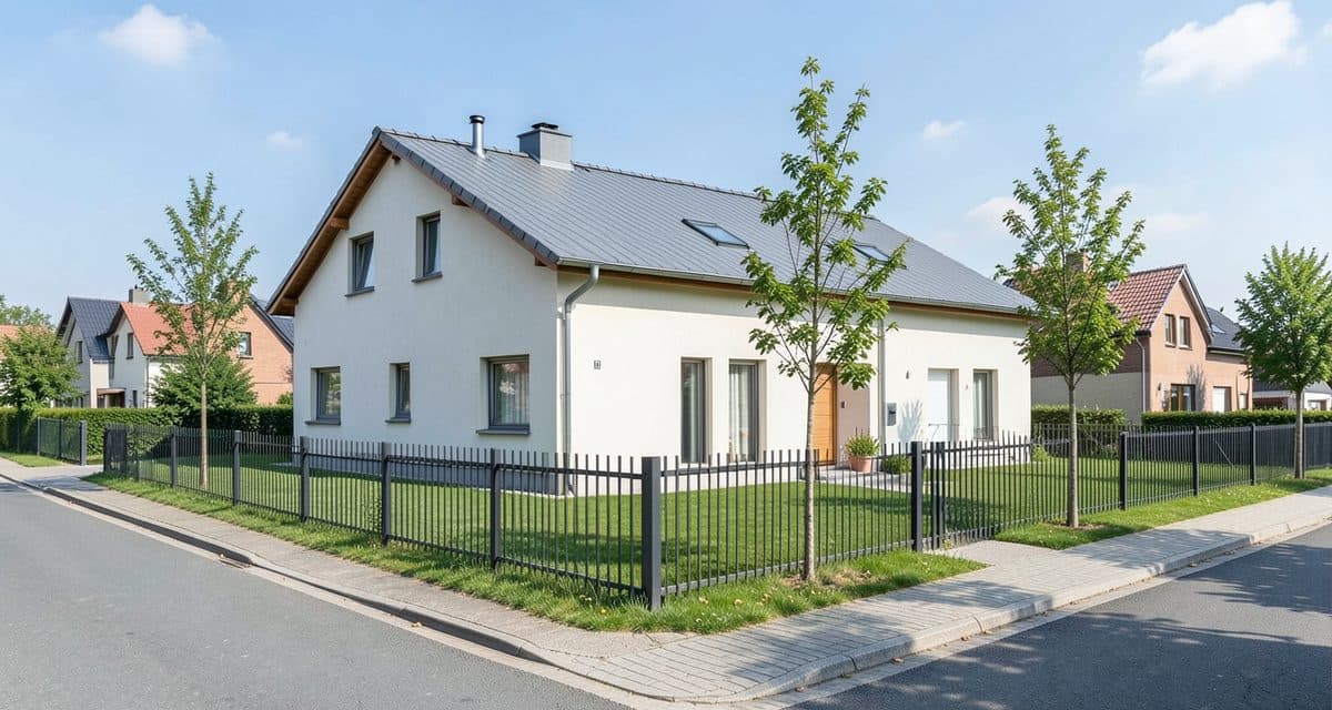
Minimum Plot Size for a House in Poland: Area, Width and Plot Division
There is no single national minimum plot size for a house in Poland. See where the figure comes from: local plan, zoning decision or plot division rules.
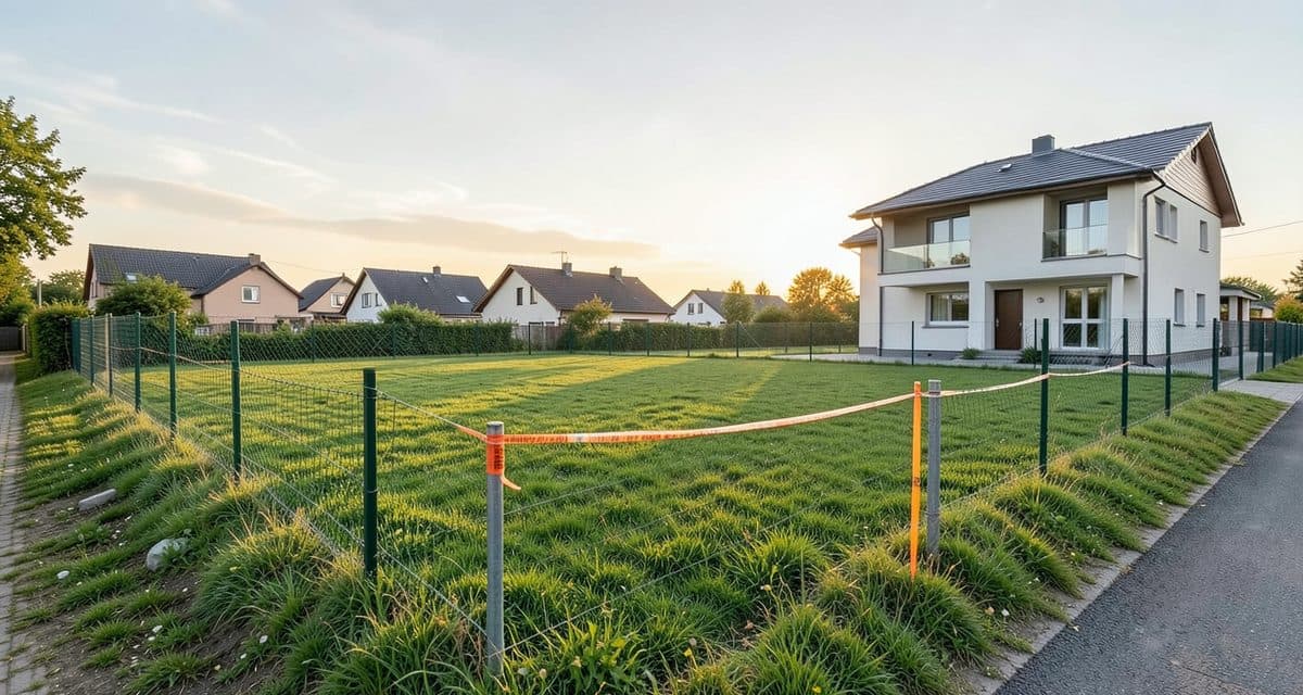
How to Find the Zoning Plan of a Plot in Poland: Geoportal, BIP and Urban Register
How to find the zoning plan of a plot in Poland: Urban Register, geoportal, municipal BIP, official extract. Steps, stamp duty, and what to do with no plan.