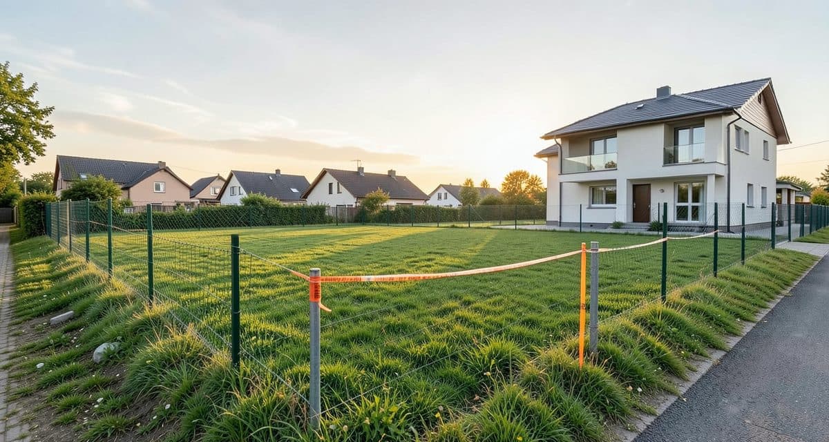
What the local zoning plan (MPZP) of a plot is and why you check it
Legal status at the date of publication
This article describes the Act on spatial planning and development (upzp, consolidated text Dz.U. 2026 poz. 538, amended among others by Dz.U. 2026 poz. 781) and the Act on stamp duty (consolidated text Dz.U. 2026 poz. 1395). The Urban Register (Rejestr Urbanistyczny) has operated since 1 July 2026 and is in a transitional period: until 30 November 2026 the data in it may still be incomplete. This is not legal advice. Confirm the facts for your plot at the municipal office (urząd gminy).
To find the zoning plan of a plot in Poland, look in three places: the Urban Register, the national map of local zoning plans on the geoportal, and the BIP (public information bulletin) or website of the municipality. The official document for your plot is an extract and a drawing from the plan (*wypis i wyrys*), and the office charges stamp duty for them. Access to the data in the Urban Register is free of charge (art. 67f para. 1 upzp). The geoportal states that the information it shows, other than materials of the state geodetic and cartographic resource, is for reference only. What binds is therefore the resolution of the municipal council, not the preview on a map.
A local zoning plan (*miejscowy plan zagospodarowania przestrzennego*, MPZP) is an act of local law (art. 14 para. 8 upzp). Its provisions shape the way the right of ownership of a property is exercised (art. 6 para. 1 upzp). The land use, the manner of development and the building conditions are set in the local plan (art. 4 para. 1 upzp). Where there is no plan, the manner of development and the building conditions are set in a zoning conditions decision (*decyzja o warunkach zabudowy*, art. 4 para. 2 upzp). So before you buy a plot or commission a design, the first step is to establish whether a plan exists and what it says about your plot. A wider checklist is in our buying land in Poland checklist.
The local plan is a separate act from the general plan of the municipality (*plan ogólny gminy*), which the municipal council adopts for the whole area of the municipality (art. 13a para. 1 upzp). Existing local plans keep their force in a given area until new local plans enter into force in that area (art. 67 para. 1 of the amending act, Dz.U. 2023 poz. 1688). A local plan in force today therefore stays valid until a new local plan enters into force on its area. The effects of a missing general plan are covered in our text on the general plan after September 2026.
Where to find the zoning plan of a plot in Poland: register, geoportal, BIP, office
The Urban Register
The Urban Register is a state system into which municipalities enter their spatial planning acts. In its component called Acts of spatial planning you find spatial data of the general plans of municipalities and of local zoning plans. The Repository holds the resolutions and other planning documents. You search by typing, for example, the name of the municipality or the plot identifier.
The system is run by the minister responsible for construction, spatial planning and development, and housing (art. 67g para. 1 upzp), and municipalities enter their own acts into it (art. 67i para. 1 upzp). The register is filled in gradually by municipal offices and marshal offices, and until 30 November 2026 the data in it may still be incomplete. An empty search result therefore does not prove that no plan exists. If your plot does not show up, check the other sources on this list.
The national integration map on the geoportal
The National Integration of Local Zoning Plans (KIMP) is one of the national integration services run by the Head Office of Geodesy and Cartography (GUGiK). The service page has a button "Pokaż w geoportalu" (show in the geoportal) and a map of the units included in the service. The map helps you see the boundary of a plan area quickly, but it is only a preview. A missing plan on the map does not prove that there is none, so confirm every result in the resolution. The full list of services, including general plans of municipalities, is on the GUGiK National Integration page.
BIP and the municipal website
A resolution adopting a local plan takes effect on the date it sets, but not earlier than 14 days after its publication in the official gazette of the voivodeship (art. 29 para. 1 upzp). In the BIP and on the municipal website, look for the resolution with its number and date, then check its publication in the voivodeship gazette. The duty to publish planning information in the BIP lasted until 30 September 2026. It is worth comparing the resolution with the municipal website as well, because the municipality is responsible for entering it into the Register.
An extract and a drawing from the office
Everyone has the right to inspect a local plan and to obtain extracts and drawings from it (art. 30 para. 1 upzp). Order the extract and the drawing from the municipal office and ask there about the form of the application. According to gov.pl, citizens will get the e-Wyrys component in the Urban Register, which generates information in the form of an extract and a drawing from the general plan of a municipality.
Stamp duty for an extract from a local plan is 30 zł for an extract of up to 5 pages and 50 zł for an extract of more than 5 pages. For a drawing, the duty is 20 zł for each full or started part corresponding to an A4 page, but no more than 200 zł (part I item 51 of the annex to the Act on stamp duty, consolidated text Dz.U. 2026 poz. 1395). Exemptions from stamp duty are set in the same act, including its annex. If you think you are entitled to an exemption, ask about it at the office.
Does your plot have a local plan: step by step
The order below takes you from the fastest preview to a document you can show to a bank or a designer.
- Write down the plot number, the name of the precinct (*obręb*) and the municipality. Without them every search returns random results.
- Enter the plot identifier or the name of the municipality in the Urban Register and check whether a local zoning plan exists for that area.
- Compare the result with the national integration map on the geoportal. Look at the boundary of the plan area. A plan may divide a plot with lines separating areas of different land use or different rules of development (art. 15 para. 2 point 1 upzp).
- Find the resolution in the Repository of the Register, in the BIP or on the municipal website, and read the provisions for the land-use symbol that covers your plot.
- Check the date of publication of the resolution in the voivodeship gazette and the date it entered into force, and whether the plan was amended later.
- When you need an official document, for example for a purchase, a loan or a design, order the extract and the drawing from the municipality.
If no source shows a plan, write to or call the planning or architecture department of the municipal office and ask directly whether a local plan applies to the plot and whether work on a new one is under way. Only confirmation from the office closes the question.
Plot search and the map work without logging in. Development variants need a free account. The tool is in Polish.
Reading the plan: land-use symbol, indicators and drawing
On the drawing of the plan, find the area where the plot lies, then read the provisions for that area in the text of the resolution. A local plan must define the land use and the lines separating areas of different land use (art. 15 para. 2 point 1 upzp).
A plan must also set the rules for shaping buildings and the indicators of land development (art. 15 para. 2 point 6 upzp): the maximum and minimum above-ground building intensity, the minimum share of biologically active area, the maximum share of built-up area, the maximum building height, the minimum number of parking spaces, as well as building lines and the dimensions of structures.
| Provision | What to look for in the resolution | Legal basis |
|---|---|---|
| Land use | the area symbol on the drawing and the description of its land use | art. 15 para. 2 point 1 upzp |
| Building intensity | maximum and minimum above-ground building intensity | art. 15 para. 2 point 6 upzp |
| Area | minimum share of biologically active area and maximum share of built-up area | art. 15 para. 2 point 6 upzp |
| Height and parking | maximum building height and minimum number of parking spaces | art. 15 para. 2 point 6 upzp |
| Building lines | building lines and dimensions of structures | art. 15 para. 2 point 6 upzp |
| Distances, colour, roof | position relative to roads and boundaries, colours, roof covering | art. 15 para. 3 point 8 upzp |
| Plot division | minimum area of newly created building plots | art. 15 para. 3 point 10 upzp |
Depending on need, a plan also sets the position of buildings relative to roads and the boundaries of neighbouring properties, the colours of buildings and the roof covering (art. 15 para. 3 point 8 upzp), and the minimum area of newly created building plots (art. 15 para. 3 point 10 upzp). If one of these provisions is missing from the resolution, the plan is silent on it, so ask the municipality what applies then.
Take the numbers for your project from the text of the resolution, not from the preview on a map. Where the plan sets a building line, check it against the individual analysis of your designer.
If there is no local plan: zoning conditions decision and the general plan
When a plot has no local plan, the manner of development and the building conditions are set by a zoning conditions decision (*decyzja o warunkach zabudowy*, WZ, art. 4 para. 2 upzp). A zoning conditions decision is possible only if the conditions of art. 61 para. 1 upzp are all met, and one of them is access of the land to a public road (art. 61 para. 1 point 2 upzp). The conditions also include a built-up neighbouring plot accessible from the same public road and the location of the land in an infill area (art. 61 para. 1 points 1 and 1a upzp).
A zoning conditions decision on an application filed from 1 September 2026 can be issued if a general plan has entered into force in the municipality (art. 59 para. 3 of the amending act, Dz.U. 2023 poz. 1688, as amended by Dz.U. 2025 poz. 1543 and Dz.U. 2026 poz. 781). The details and effects are in our article on the general plan after September 2026, and the whole procedure is in the zoning conditions decision guide.
Offices are to make applications for zoning conditions and zoning conditions decisions available in the Register only from 1 July 2029. Do not expect to check in the Register today which decisions were issued to your neighbours. Ask the municipal office about them.
What the Zabudowa.com.pl tool does and does not do
After you enter a plot number or an address, Zabudowa.com.pl shows the boundaries and area of the plot from ULDK (GUGiK) and the land use from the National Integration of local zoning plans, where the municipality publishes a plan there. The tool takes numerical indicators such as intensity, built-up percentage, height or parking from the plan only where the municipality publishes them in the data; this concerns a few cities: Poznań, Warsaw and Wrocław. In other municipalities the tool fills in typical values for the given zone, labelled "Szacowane" (estimated), which you must correct against the resolution. Where there is no plan, you can upload a zoning conditions decision as a PDF or enter the parameters by hand.
No plan in the tool's data does not mean no plan in the municipality, because service formats differ between municipalities. The tool is for a first check and does not replace an urban planner or an architect. The official document, the extract and the drawing, comes from the municipality. Search, the map and plot data work without logging in. The interface is in Polish, so open the plot checker, enter a plot number, and confirm the numbers from the plan in the resolution.
Frequently asked questions
Where can I check the zoning plan of a plot in Poland for free?
In the Urban Register, to which access is free of charge (art. 67f para. 1 upzp), and on the national integration map on the geoportal. You can also find the text of the resolution in the BIP or on the municipal website. Data in the Register may be incomplete until 30 November 2026, so confirm a missing plan at the office.
How do I know if a plot has a local plan?
Enter the plot identifier or the name of the municipality in the Urban Register and compare the result with the geoportal map. Then find the resolution and its publication in the voivodeship gazette. If you see no plan, ask the municipal office, because data in the Register may be incomplete until 30 November 2026.
What is the urban register?
It is an ICT system that collects information and data on planning and spatial development, including spatial data (art. 67d para. 1 and art. 67e para. 1 upzp). It is run by the minister responsible for construction, spatial planning and development, and housing. It has operated since 1 July 2026.
Is an extract from the zoning plan paid?
Yes, issuing an extract is subject to stamp duty: 30 zł for an extract of up to 5 pages and 50 zł above 5 pages. For a drawing the duty is 20 zł for each full or started A4 page, no more than 200 zł. Viewing the plan in the Urban Register is free of charge.
Sources and legal basis
- Act on spatial planning and development, consolidated text Dz.U. 2026 poz. 538
- Act amending the act on spatial planning and development, Dz.U. 2026 poz. 781
- Act amending the act on spatial planning and development and certain other acts, Dz.U. 2023 poz. 1688
- Act amending the amending act, Dz.U. 2025 poz. 1543
- Act on stamp duty, consolidated text Dz.U. 2026 poz. 1395
- Urban Register launched, gov.pl
- Urban Register, information and deadlines, gov.pl
- Use the Urban Register, gov.pl
- National Integration in a new version, geoportal.gov.pl
- National Integration of Local Zoning Plans, GUGiK
Check your plot
Enter the plot number and find out in 2 minutes what you can build on it. Free, no sign-up. (The analysis tool is in Polish and covers Polish plots.)
Analyze a plot for freeRelated articles
Buying Land in Poland: 12 Checks That Can Save You Thousands
A 12-point checklist for buying building land in Poland: local zoning plan, zoning conditions, utilities, road access, soil, flood risk and land register.
No General Plan, No Zoning Decision? Building in Poland After 1 September 2026
The deadline for municipal general plans passed on 31 Aug 2026 and only 35% of municipalities made it. Can you still get a WZ zoning decision? Rules, next steps.
Zoning Conditions in Poland (WZ) 2026: The Complete Guide
What a zoning conditions decision (WZ) is in Poland, how to apply, what it costs and how long it takes. Parameters, urban analysis and the 2026 reform.