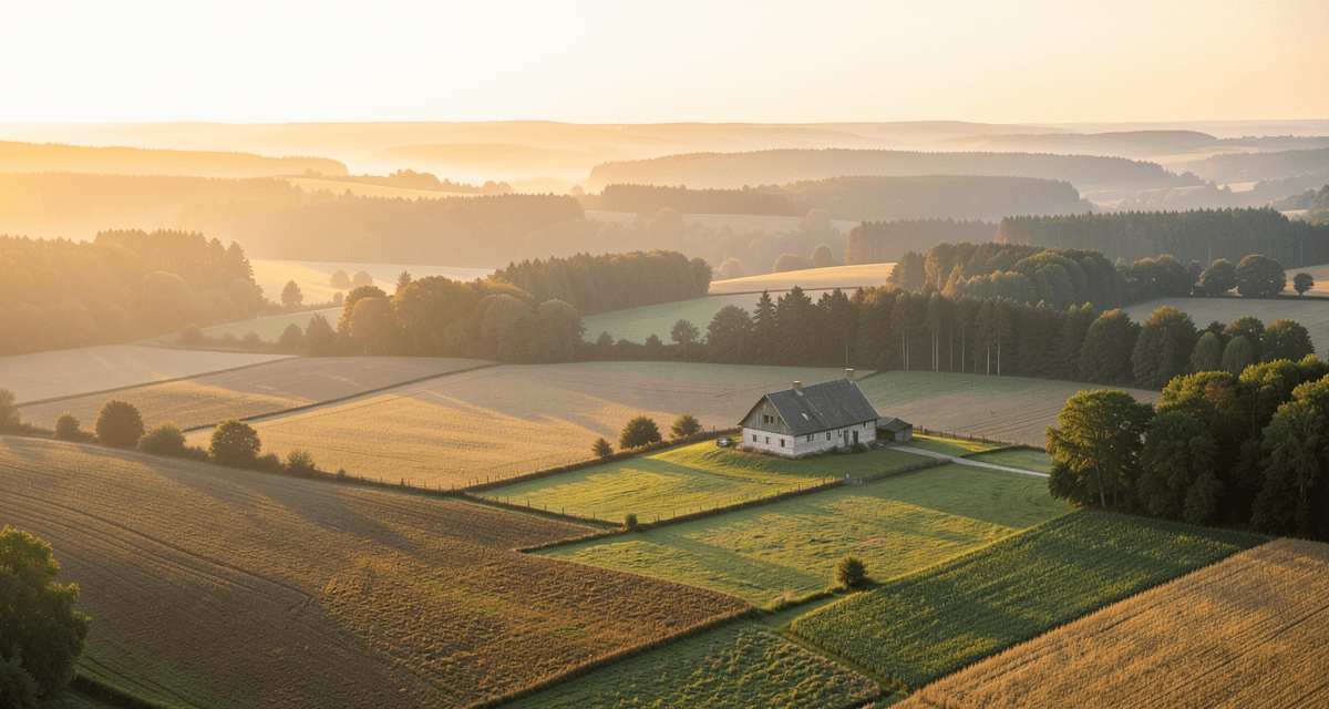
Building, agricultural, forest and farmstead land — what is the difference
Before you decide to buy land in Poland, you need to know what type of plot you are dealing with. The classification in the land and building register (ewidencja gruntów i budynków) is crucial — it determines what you can build, what rezoning will cost and what legal restrictions apply.
Building plot (B, Bp) — land recorded in the register as residential or urbanised area. You can build on it without any rezoning procedure, provided you obtain zoning conditions (WZ / decyzja o warunkach zabudowy) or the plot is covered by a local zoning plan (MPZP / miejscowy plan zagospodarowania przestrzennego). This is the simplest path to your own home.
Agricultural plot (R, RIIIa, RIV, etc.) — farmland, arable land, orchards, meadows and pastures. The letter indicates the type of land use, and the Roman numeral the soil quality class. The higher the class (I–III), the better the soil and the harder it is to rezone. Building on agricultural land requires changing its designation in planning documents and then excluding it from agricultural production.
Forest plot (Ls) — land classified as forest in the register. It is governed by the Forest Act and the Act on the Protection of Agricultural and Forest Land. Building is in principle prohibited — you need a change of designation in the MPZP and a decision by the Director of the Regional Directorate of State Forests on excluding the land from forest production.
Farmstead plot (działka siedliskowa) — a colloquial name for an area within a farm on which farm buildings (zabudowa zagrodowa) may be erected. The register has no separate “farmstead” category — it is an agricultural plot on which the law allows building on condition that you run a farm.
Checking the land classification is the absolute starting point. Enter the plot number in Zabudowa.com.pl (interface in Polish) to retrieve the cadastral data automatically. You can also order an extract from the land register at the county office (starostwo) or check the cadastral map on Geoportal.
Farmstead plots and farm buildings
Farm buildings (zabudowa zagrodowa) are the only way to legally put up a residential building on agricultural land without rezoning. They cover residential, utility and livestock buildings — everything that serves the operation of a farm. This solution is intended for people who actually run an agricultural business.
Article 61(4) of the Spatial Planning and Development Act provides that the requirement of neighbouring development (the so-called “good neighbourhood” rule) does not apply to farm buildings if the area of the farm exceeds the average farm size in the given municipality. In practice, this means a farmer can obtain zoning conditions even for a plot surrounded solely by fields, with no buildings nearby.
Who is a farmer? The Act on Shaping the Agricultural System defines an individual farmer as a natural person who owns at least 1 ha of agricultural land, has agricultural qualifications and has lived for at least 5 years in the municipality where one of the farms making up the holding is located. For farm buildings, however, what matters is the average farm size in the municipality — and that can range from 3 to as much as 30 ha depending on the region.
What buildings can be put up? Farm buildings include: a residential building (the farmer’s house), utility buildings (barns, garage, workshop), livestock buildings (cowsheds, pigsties, poultry houses) and other structures serving agricultural production — silos, greenhouses, drying sheds. All of them must be functionally linked to the farm.
Remember that zoning conditions for a farmstead follow the same formal procedures as ordinary WZ decisions — only the neighbourhood condition changes. The authority still checks access to a public road, utilities and compliance with other regulations.
Rezoning agricultural land step by step
If you are not a farmer, or your farm does not meet the requirements for farm buildings, the only route to building on agricultural land is rezoning (odrolnienie). It is a two-stage process: changing the designation of the land and excluding it from agricultural production.
Stage 1 — change of designation. Agricultural land must be designated for non-agricultural purposes in the local zoning plan. If the municipality has an MPZP that allows development, you have already completed this stage. If not, you must wait for the plan to be amended or a new one adopted. Amending an MPZP takes from several months to several years and depends on how active the municipality is.
Stage 2 — exclusion from production. After the change of designation, you apply to the starost (head of the county office) to exclude the land from agricultural production. Here the soil class determines whether the procedure is simple or demanding.
- Classes I–III (and IV–VI on organic soils) — require the consent of the minister responsible for rural development. The minister has 60 days to issue a decision; no reply within that time means tacit consent. Fees are the highest.
- Classes IV–VI (on mineral soils) — do not require the minister’s consent. The starost issues the decision alone. In many cases no charge is levied (if the market value of the land exceeds the statutory charge).
Cost of rezoning. The one-off charge for excluding 1 ha of land ranges from about PLN 87,000 (approx. EUR 20,000; class VI) to over PLN 437,000 (approx. EUR 102,000; class I). The charge is reduced by the market value of the land — if the price of the plot exceeds the charge, the one-off fee is waived. In addition, for 10 years you pay an annual fee of 10% of the charge.
The whole process — from the application to amend the MPZP to obtaining the exclusion decision — can take anywhere from a few months (when the plan already allows development) to several years. It is worth starting by checking the MPZP for the plot.
Forests and building — distances and protection zones
Proximity to a forest is one of the most common traps when buying land. The regulations impose strict restrictions that can effectively rule out building — even if the plot has building status.
A 12 m distance from the forest boundary. The Regulation of the Minister of Infrastructure on the technical conditions that buildings and their location must meet (§ 271) requires a distance of at least 12 m between a building’s wall and the forest boundary. If the wall or roof spreads fire, the distance increases to 16 m. This is a fire-safety requirement that applies to residential buildings, collective residence buildings and public buildings.
Exceptions to the 12 m rule. Since 2018, relaxed rules have applied to buildings that meet technical conditions: a wall and roof that do not spread fire, no rooms at risk of explosion, and an appropriate fire-resistance class. In that case the distance can be reduced to 4 m (where the forest is on a neighbouring plot) or even 0 m (where the forest is on the same plot) — but only if the MPZP designates the area along the forest boundary for non-forest purposes.
Building on forest land. Putting up anything on land classified as Ls requires its exclusion from forest production. The decision is issued by the Director of the Regional Directorate of State Forests — regardless of whether the forest is state-owned or private. Exclusion involves a one-off charge and compensation for premature felling of the stand (exempt are single-family houses up to 500 m² of excluded land and multi-family buildings up to 200 m² per apartment).
Private forest and tree felling. The owner of a private forest is subject to the Forest Act and must manage the forest in line with a simplified forest management plan. Unauthorised felling for construction purposes — without an exclusion decision — is illegal and carries a financial penalty.
Protection zones — water, nature, landscape
Agricultural and forest land often lies in areas covered by additional forms of protection. Even if you manage to rezone the land or obtain zoning conditions for farm buildings, protection zones can restrict or completely block construction.
Natura 2000. In Natura 2000 areas, any project likely to have a significant impact on the environment requires an impact assessment. Building a single-family house is usually not subject to this procedure, but a larger investment (a livestock farm, a plant) will require an environmental decision. It is crucial to check whether the plot lies within a Special Area of Conservation (habitats) or a Special Protection Area (birds).
Landscape parks and protected landscape areas. These areas are subject to bans set out in regulations of the voivode or resolutions of the regional assembly. Typical restrictions include a ban on building on hilltops, a ban on structures taller than 10 m, or a ban on bright façade colours. These bans can be lifted in an MPZP, but not by a WZ decision.
Water intake protection zones. Indirect and direct protection zones are designated around drinking-water intakes. In the direct zone, development is completely prohibited. In the indirect zone, restrictions apply to matters such as sewage discharge and the siting of septic tanks and tanks for hazardous substances.
Where to check? Zabudowa.com.pl automatically checks the MPZP and ISOK flood zones. Information on Natura 2000 areas and landscape parks is available from the GDOŚ (General Directorate for Environmental Protection, in Polish) and on Geoportal (geoportal.gov.pl). It is also worth asking the municipal office — they often know of restrictions that are not yet on the digital maps.
Floods and ISOK — how to check the risk
Agricultural land in river valleys can be attractively priced, but it often hides serious flood risk. The ISOK system (the IT System of the Country’s Protection) lets you check this risk before buying a plot.
Flood hazard maps show the extent of flooding for three scenarios:
- Q10 — a flood with a 10% annual probability (statistically once in 10 years). High-hazard area.
- Q100 — a flood with a 1% annual probability (statistically once in 100 years). A moderate-hazard area, but this is the zone that matters most in spatial planning.
- Q500 — a flood with a 0.2% annual probability (statistically once in 500 years). An extreme scenario.
Consequences for development. Municipalities are required to take flood hazard zones into account in local plans and when issuing WZ decisions. In Q100 flood areas, building residential structures is in principle prohibited, unless the project meets special conditions (for example, raising the ground floor above the 100-year flood level). Insurers also factor in this data — premiums on a plot in the Q100 zone will be higher, and some insurers will refuse cover.
How to check? Enter the plot number in Zabudowa.com.pl — the system automatically retrieves ISOK data and flags flood hazard in the plot report. You can also check the maps yourself on the ISOK Hydroportal (mapy.isok.gov.pl).
Do not dismiss Q500 zones — although the probability seems low, climate change and the events of 2024 show that extreme floods happen more often than historical statistics suggest.
The 2026 reform and agricultural and forest land
The planning reform, which takes effect in stages up to 30 June 2026, fundamentally changes the rules of the game for owners of agricultural and forest land. The new instrument — the municipal general plan (plan ogólny) — determines where you can build and where you cannot. And you cannot fall back on the “good neighbourhood” rule.
The general plan and agricultural land. The general plan designates planning zones for the entire municipality. If your agricultural plot ends up in an open zone (for example, a green and reclamation zone or an agricultural zone), obtaining zoning conditions will be impossible — even for farm buildings, if the municipality does not designate a suitable zone. After 31 August 2026, WZ decisions will be issued only in infill development areas designated in the general plan.
Farm buildings after the reform. Article 61(4) (the exemption from the neighbourhood rule) still applies, but the WZ decision must comply with the general plan. If the general plan does not provide for a farm-building zone in a given area, a farmer will not obtain a WZ — even with 100 ha. This is a key change compared with current rules, under which a WZ could be obtained on practically any agricultural land meeting the area condition.
What to do now? If you own agricultural land and plan farm buildings, check what stage your municipality’s general plan has reached. Many municipalities publish draft plans for public consultation — this is the moment when you can submit comments and influence the designation of zones. You will find details of the reform in our guide to Poland’s 2026 planning reform.
Summary — what to watch out for
Buying agricultural, forest or farmstead land can be a great investment — provided you know exactly what you are dealing with. These are the key points to check before making a decision:
- Land classification — check the soil class and type of land use in the register. Classes I–III mean harder and more expensive rezoning.
- MPZP or WZ — does the plot have a local plan that allows development? If not, check whether you can obtain zoning conditions (for farm buildings or ordinary ones after rezoning).
- The municipal general plan — check the draft general plan. After 31 August 2026 it will decide whether you can build on your plot.
- Proximity to forest — the 12 m distance (or 16 m for fire-spreading walls) can rule out a significant part of a plot for building.
- Flood zones — check automatically in Zabudowa.com.pl or manually on the ISOK Hydroportal whether the plot lies in a Q10 or Q100 zone.
- Protected areas — Natura 2000, landscape parks and water intake protection zones can significantly limit development options.
- Cost of rezoning — calculate the one-off charge and the annual fees. For class I–III land, the amounts can be substantial.
If you plan to build on agricultural or forest land, start with a comprehensive analysis — check all the parameters in one place on Zabudowa.com.pl (interface in Polish). Our tool automatically retrieves data on the MPZP, ISOK zones, proximity to forest and development parameters.
For more on what to look at when buying, read our article what to check before buying land in Poland. If you plan to finance construction with a loan, compare offers already at the stage of choosing the plot — the bank will also assess its legal status.
Check your plot
Enter the plot number and find out in 2 minutes what you can build on it. Free, no sign-up. (The analysis tool is in Polish and covers Polish plots.)
Analyze a plot for freeRelated articles
Buying Land in Poland: 12 Checks That Can Save You Thousands
A 12-point checklist for buying building land in Poland: local zoning plan, zoning conditions, utilities, road access, soil, flood risk and land register.
Zoning Conditions in Poland (WZ) 2026: The Complete Guide
What a zoning conditions decision (WZ) is in Poland, how to apply, what it costs and how long it takes. Parameters, urban analysis and the 2026 reform.
Poland’s 2026 Planning Reform — 3 Dates That Change the Property Market
Poland’s 2026 planning reform: zoning decisions valid for 5 years, mandatory municipal general plans, no more open-ended approvals. The 3 key dates explained.